Locally relevant and high resolution coastal hazard and risk assessment on tsunami and storm surge, requires local bathymetric and topographic and exposure datasets, with capacity to generate customized ocean forecast information and mechanism for forecast validation for reducing risks.
Ocean information is critical for effective management of maritime activities, such as shipping, marine recreation, fisheries, and disaster preparedness in the islands and coastal regions. Most RIMES Member States in the Indian Ocean have access only to forecasts at coarse resolutions (global and regional scales), which are hardly interpreted and operationally used by user agencies in the countries.
The project on Development and Implementation of an Integrated Ocean Information System for Indian Ocean Countries is supported financially and technically by the Indian National Centre for Ocean Information Services (INCOIS), which serves as a Regional Tsunami Watch Provider (RTWP) for Indian Ocean Countries under UNESCO/IOC framework.
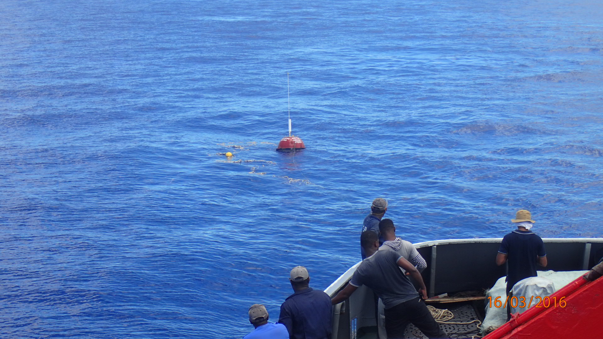
RIMES provides a continuous 3-day forecast on wave, swell, current, wind direction and speed for countries in the Indian Ocean region. Ocean models developed by INCOIS are validated by using real-time observational data from tide gauges, buoys, satellites and feedback from users. Additionally, OSFAS also provides information on weather forecasts and generates localised advisories to guide planning activities.
The system employs tools to generate forecasts, tsunami and ocean state models and automate assessment of risk from forecasted events. Forecast information is translated into actionable useful information such as advisories to provide guidance on how to manage potential impacts. Advisories are disseminated through various channels such as websites, emails, sms packs to national focal points.
In addition to tsunami forecasts, the system is also able to generate impact-based forecasts online through the generation of an inundation model linked to INSPIRE - an internet based simulation platform for inundation and risk evaluation. The system offers a comprehensive loss estimation assessment for potential damage to lives and infrastructure.
The project addresses expressed needs and demands of RIMES Member States and collaborating countries for tsunami warning and inundation information, meeting UNESCO/IOC IOTWS Service Level 3 requirements, as well as an integrated ocean information service, including ocean state forecasts, for their user agencies.
Phase 1 was implemented in 4 countries: Comoros, Mauritius, Mozambique and Tanzania, while the subsequent phases covered all RIMES Member States and Collaborating Countries along the Indian Ocean.
Objective:
- Enhanced near-shore bathymetric, topographic, and exposure datasets for undertaking tsunami risk assessment as per IOTWS Service Level 3 requirements
- Capacity building for application of customized ocean/marine forecast information
- Capacity building for tsunami risk assessment
- Capacity building for improved warning response and preparedness
Activities and outcomes
Generation of seamless multi-source near-shore bathymetry, topography exposure dataset
This project demonstrates the methodology to collect, analyze, and process coastal datasets of differing formats, projections, resolutions, accuracies, and datums, for generating seamless near-shore bathymetry-topography-exposure datasets for tsunami risk assessment.
Customization of Ocean/Marine Forecast Information
Existing data and updated local bathymetric data would be integrated by INCOIS into its forecasting system to generate desired products for a range of users -locally and regionally- in each country. These products include 72-hour wave and swell height, direction and period, sea surface currents, sea surface temperature, mixed layer depth, depth of the 20 degree isotherm (as a measure of thermocline), wind speed, and tide prediction from INCOIS‚IIndian Ocean Forecast System (INDOFOS). Additionally, information from INCOIS‚ Marine Fishery Advisory (information derived from satellite images and Potential Fishing Zone (PFZ) advisories) and Coral Reef Mapping and Reef Health Monitoring (information derived from satellite images and Coral Bleaching Alert System) could also be provided.
RIMES also works closely with national agencies to integrate all locally available real-/near real-time ocean observations into a regional server that INCOIS could use for forecast verification and modeling purposes. RIMES Member States and Collaborating Countries, with support from RIMES, facilitated user feedback on forecast information generated by INCOIS, to guide for further improvements.
Development of real time tsunami inundation simulation and loss estimation system (IOTWS Service Level 3 program)
Real-time tsunami inundation simulation and loss estimation system shall be developed at RIMES to assist countries in the analysis of risks from tsunamigenic earthquake events. A Web Map Service (WMS) will be customized to store geo-referenced vulnerability database, which shall be built from field survey data, and display tsunami inundation map from real-time simulations. Using inundation depth forecast and exposure data, the system shall analyze potential impact on population and infrastructure. Estimates of potential loss and damage shall be based on the tsunami vulnerability function concept.
Capacity building on tsunami risk assessment and evacuation planning
RIMES built tsunami risk assessment capacity through training, and demonstration and transfer of tools developed at RIMES:
i) INSPIRE, a computer-based tsunami propagation and inundation risk assessment tool, which calculates and maps tsunami travel time, amplitude, and current velocity, and probabilities of human death and building damage
ii) ESCAPE, a computer-based tool that integrates INSPIRE outputs into evacuation planning, which calculates and maps the fastest evacuation route, taking into consideration decelerating factors, such as land use, water dynamics, etc.
This project also builds on the learning and experience from an ESCAP-supported capacity building project in Myanmar, Philippines, Sri Lanka, and Thailand for generating bathymetric, topographic and exposure data through cost-effective means and to utilize these data to generate tsunami risk assessment information, for meeting IOTWS Service Level 3 requirements.